
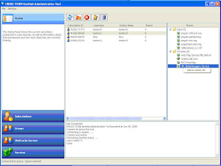
Via a TITAN GeoHub, organizations can now provide web service layers as maps to their subscribers via Map Collections.
The GeoHub Admin can add layers from WMS, WCS and ECWP to the Map Collection, and can provide access to ERDAS Apollo Image Manager (EAIM) catalogs of data exposed as web services. The Admin can also add web service layers and datasets that are published by the subscribers themselves, with permissions on those datasets maintained.
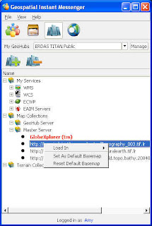
In an autonomous network, the Master Server Admin is enabled to provide layers from WMS, WCS and ECWP sources in a Map Collection as well. Beyond that, Master Server Admins can create custom tiled versions of imagery and terrain datasets for delivery from standard web servers to TITAN Clients participating in their network. They can pre-process their own basemap imagery for faster streaming of data via a custom TITAN Tiled Basemap, and can also generate a TITAN Tiled Terrain source, a custom tiled version of a terrain source which can be streamed to clients on a block by block basis.
Ultimately it’s the users that benefit from these sources of data, with more selection for basemaps and terrain for their TITAN Viewer.


No comments:
Post a Comment